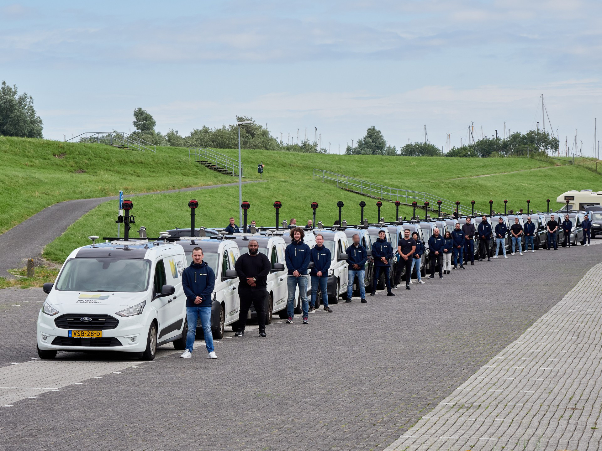

We are looking for a LiDAR & Mobile Mapping Data Specialist for a temporary engagement of up to 6 months during our peak season. As part of the Data Quality Office together with 10 colleagues, you will support the processing, refinement, and quality assurance of geospatial data for international projects.
Your primary responsibilities will include managing automated refinement pipelines, processing LiDAR and mobile mapping datasets, and ensuring high data accuracy.
This temporary position is ideal for candidates with experience in geospatial data processing who are looking to contribute to a fast-paced, innovative environment. You will work closely with project managers, data analysts, and quality control teams to optimize workflows and deliver high-quality geospatial products within tight deadlines.
Key Tasks & Responsibilities
- Refinement Pipeline Management: Operate and monitor automated processing pipelines, troubleshoot issues, and optimize workflows.
- LiDAR & Point Cloud Processing: Work with Terrasolid and similar tools for alignment, segmentation, and sensor fusion.
- Manual Data Processing: Process GNSS/INS data, optimize LiDAR datasets, and prepare imagery for online platforms.
- Quality Assurance & Control: Ensure data accuracy, analyze integrity, and manage rejection/re-collection decisions.
- Scripting & Automation: Develop and implement Python, FME, and Model Builder scripts to optimize data processing.
- Geospatial Data Management: Organize, store, and oversee uploads of geospatial datasets for final delivery.
- Project Planning & Reporting: Track progress, ensure deadlines are met, and propose workflow improvements.
- Troubleshooting & Collaboration: Resolve technical issues and work with teams to enhance geospatial data quality.
Requirements & Qualifications
- Experience with LiDAR processing and point cloud software (e.g., Terrasolid, Leica Cyclone, Trimble RealWorks).
- Familiarity with GIS software (QGIS, ArcGIS, Global Mapper).
- Knowledge of GNSS/INS processing, sensor fusion, and orientation adjustments.
- Proficiency in Python scripting, FME, Model Builder, and command-line scripts.
- Strong geospatial data management and troubleshooting skills.
- Competencies in analytical thinking, problem-solving, technical aptitude, and collaboration.
What we offer you
- An authentic, collaborative work environment, where your ideas are always valued
- A competitive salary based on your knowledge, skills and experience.
- 25 vacation days per year
- Commuting allowance
- Hybrid work (at least 3 days in the office) and flexibility in your work hours
- A collective pension, with the basic premium fully paid by us
- An international work environment, where diversity and inclusiveness are highly valued.